Plot Plans

A plot plan is a drawing that shows the major features and structures on a piece of property. The information contained on a plot plan can include the location of all buildings, porches, decks, sheds & driveways. The plan may also include walkways, fences, swimming pools and landscaping features as well as underground and aboveground utilities. Plot plans will also show the lot lines marking the boundaries of the property and include a brief description of adjacent properties.
Local permitting agencies typically require a plot plan with all permit applications submitted to them. They also issue their own specific requirements for those plans.

Property Line Stakeouts (Boundary Survey)

A boundary survey is the surveyor’s professional opinion on the location of property lines of the subject parcel.

To stakeout the boundary lines of any property, the surveyor must first confirm their location. This requires research at the Registry of Deeds, Land Court and local town offices for any recorded deeds and plans of the focus property and surrounding lands. After examining the deeds and plans, the surveyor will perform an instrument survey locating all monuments, property corner markers and any other structures indicating lines of possession such as fences or stone walls. The results of the fieldwork will be compared with the research. The surveyor will then reconcile all the information to determine a final conclusion about the boundaries. At this point, markers can be set on property corners and property lines.

Land Mapping Inc. prefers using iron rebar with caps for marking property corners and wooden stakes on property lines. Copies of all documentation gathered throughout the process and a sketch of the boundary marker locations are provided to the client.

Floodplain Elevation Certificates

Floodplain elevation certification is a legal document identifying if a property lies within an area designated as a flood zone. Insurance companies use floodplain elevation certificates to determine flood insurance risk. The United States Federal Emergency Management Agency (FEMA) issues Elevation Certificate forms. Required information includes the building location (longitude and latitude) and the elevation in relation to the base flood elevation in the area.  The certificate form also requires pictures of each side of the building.

New Construction Stakeouts

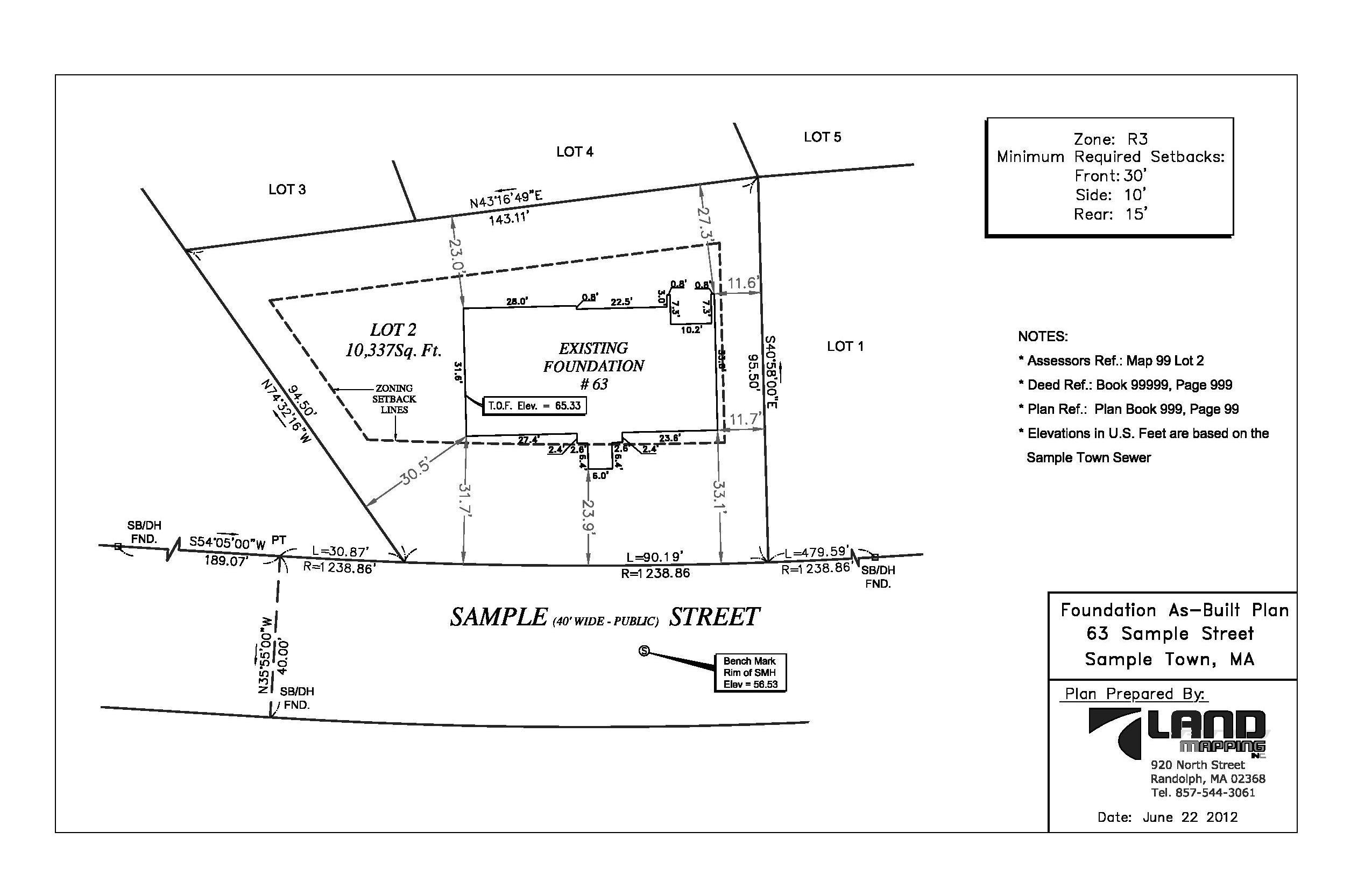
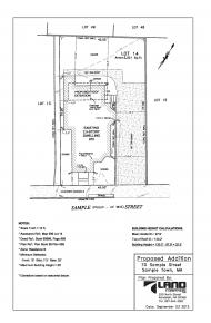
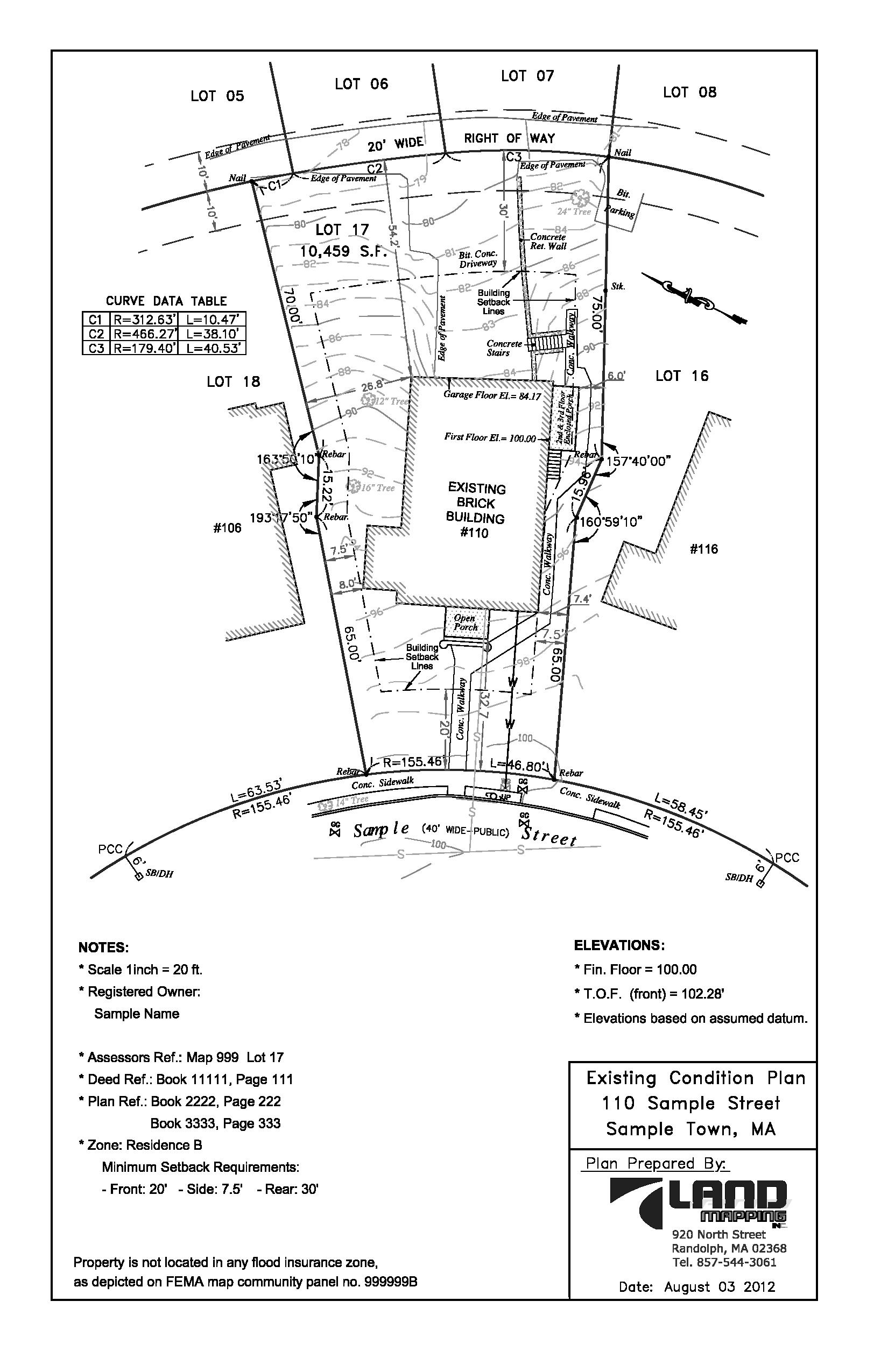
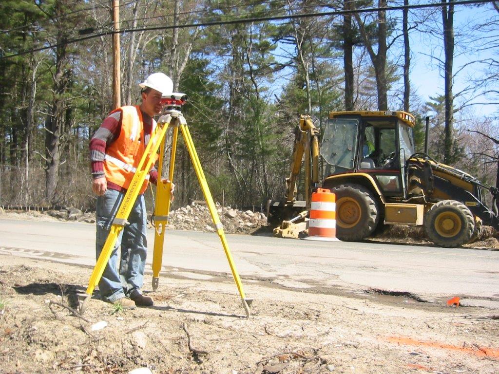
When building a new dwelling or an addition, it is important to build it according to the accepted design plan dimensions and location.  To ensure the new construction will conform to those requirements, it is necessary to stakeout its location. The 3 stages of a new construction stakeout include:

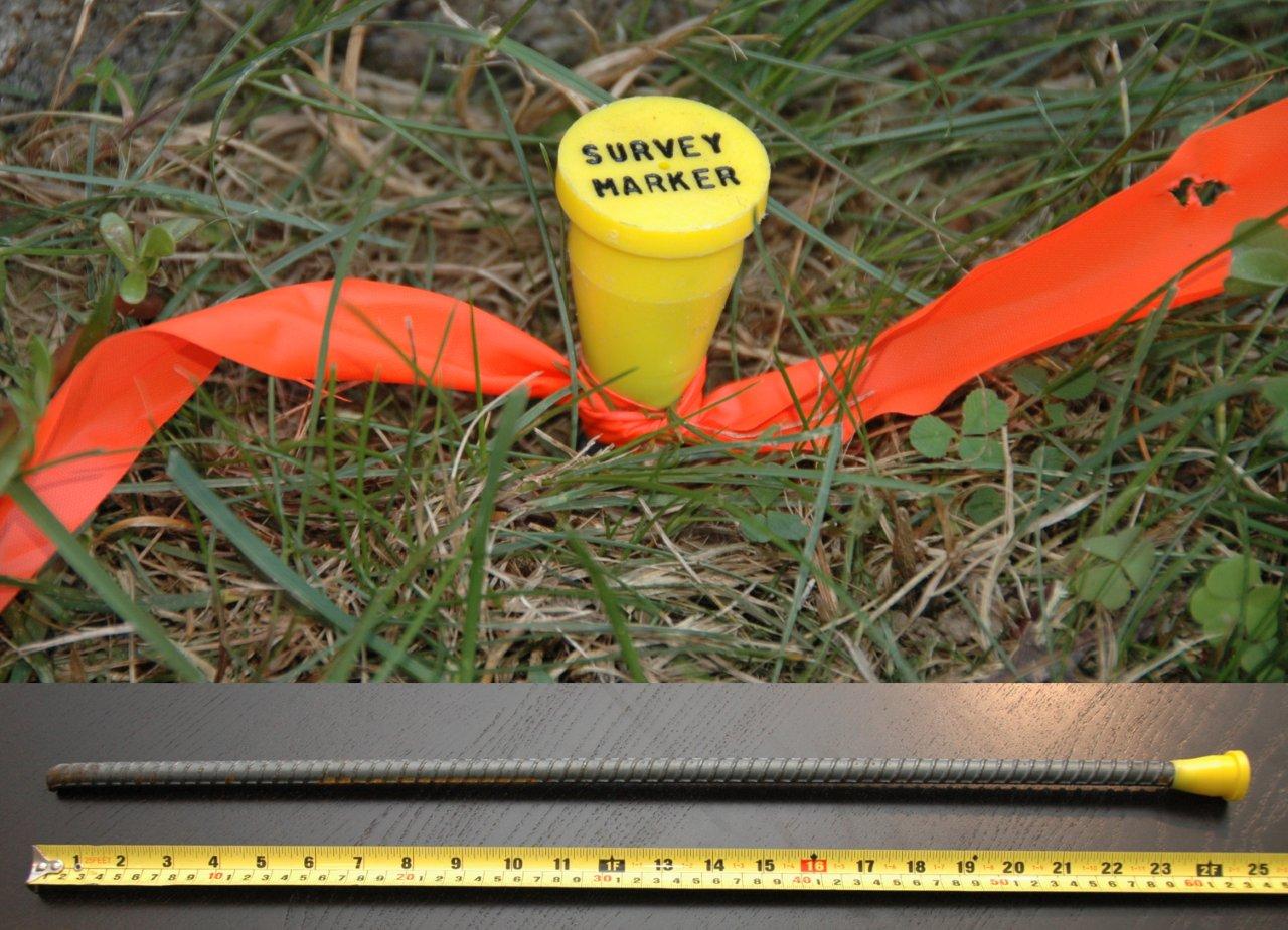
– Excavation Stakeout – offset stakes are placed to mark the area of excavation

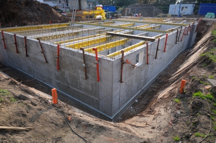
– Footing Stakeout – stakes are placed to mark the location of the new structure

– Foundation Stakeout – markings for foundation corners are put on newly-constructed footing

If the design of the proposed dwelling or addition is simple and the proposed location on the lot complies with the setbacks required by town zoning, the footing stakeout or the foundation stakeout can be omitted.

As - Built Plans

An as-built plan is a drawing prepared after construction is completed. It shows the locations of the new features on the site, their ties to the property lines and sometimes includes distances to other objects (e.g., wetlands).

As-built plans are usually required by local municipalities to ensure that the improvements were constructed according to the approved plans.

Topographic Plans

A typical topographic plan of a property consists of all the details that are usually shown on a plot plan but additionally shows ground surface elevations depicted by means of contours and spot elevations.

A topographic plan is used for a variety of applications including planning and zoning, site layout, engineering and architectural design, and construction.

Existing Conditions Plans

An existing conditions plan consists of all the information that is usually shown on a topographic plan but includes additional information regarding the location of utilities on the street, curbs, sidewalks, inverts elevations of sewer and drain structures and depicting contour elevations on the street as well.

Wetlands Surveys

The boundaries of the wetlands must be first identified and delineated by a wetlands specialist. Delineation methodology includes observation of the soil types, vegetation and hydrologic indicators. To denote a wetlands boundary, pink or blue colored flags are generally placed in key locations. These flags are survey located and shown on a plan in reference to the boundary of the surrounding parcels of land and structures.

Any work that is proposed within 100 feet of a wetland area requires filing with the local Conservation Commission and State Department of Environmental Protection.

Site Plans

A Site Plan describes improvements that will be made to a piece of land. It includes the outlines of proposed dwelling(s) including garages, sheds, decks, porches, swimming pools and all structures to be erected. It can also include site improvements such as driveways, parking lots, land topography, landscaping and utility connections.

Our Process

Industrial 90%
Construction 80%
Remodeling 70%

Key Benefits

  • The easiest way to get what you need.
  • Need it fast? We can help!
  • We work with all standards.
  • Surveying with newest technology.
  • Full responsibility.
  • The best prices.
  • Great customer reviews.